دوتنه:Punjab locator map.svg

اصلي دوتنه (SVG دوتنه، نومېنلي ۹۵۵ × ۱٬۰۲۹ پېکسل، د دوتنې کچه: ۱۷۴ کيلوبايټ)

|
This file requires updating because: Newly-created Fazilka district needs to be accommodated In doing so, you could add a timestamp to the file.
|
| عنوان |
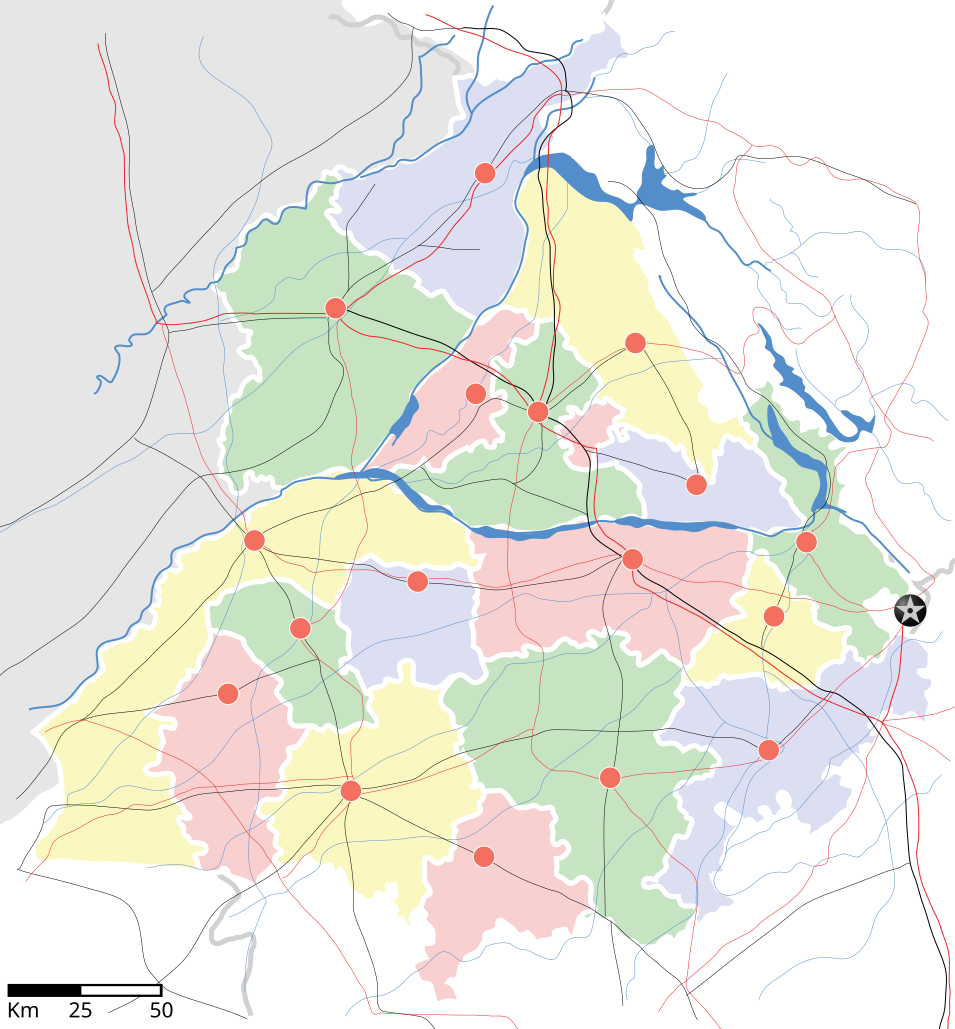
Punjab locator map |
||
| څرګندونه | |||
| نېټه | |||
| سرچينه |
شخصي اثر |
||
| جوړونکی |
|
||
| اجازه (دا دوتنه بيا کارول) |
زه، د دې اثر د خپرولو او لمېسلو خاوند، دا دوتنه د لاندې منښتليک پر بنسټ دلته خپروم: دا دوتنه د کريټيف کامنز Attribution-Share Alike 3.0 Unported په منښتليک سمبال ده.
|
||
| Geotemporal data | |||
| Date depicted | second half of 20 century او 21 century | ||
| Georeferencing | If inappropriate please set warp_status = skip to hide. | ||
| Archival data | |||
| يادښتونه | Part of WikiProject India Maps | ||
derivative works
Derivative works of this file: Districts of Punjab, India.svg
د دوتنې پېښليک
په يوې نېټې/يوه وخت وټوکۍ چې د هماغه وخت او نېټې دوتنه چې څنگه ښکارېده هماغسې درښکاره شي.
| نېټه/وخت | بټنوک | ډډې | کارن | تبصره | |
|---|---|---|---|---|---|
| اوسنی | ۱۸:۲۷, ۲۵ اپرېل ۲۰۰۷ | | ۹۵۵ × ۱٬۰۲۹ (۱۷۴ کيلوبايټ) | Planemad | reupload, forgot crop |
| ۱۸:۲۵, ۲۵ اپرېل ۲۰۰۷ |  | ۲٬۳۹۳ × ۱٬۹۵۶ (۱۸۸ کيلوبايټ) | Planemad | {{WikiProject_India_Maps |Title=Punjab locator map |Description=Locator map of the state of w:Punjab, India with district boundaries, major highways, railways and water bodies. |Source=[www.punjabtourism.org/tt_maps.php Punjab Tourism - Ma |
د دوتنې کارېدنه
دا لاندينی مخ د همدې دوتنې سره تړنې لري:
د نړېوالې دوتنې کارېدنه
همدا دوتنه لاندينۍ نورې ويکي گانې کاروي:
- په ar.wikipedia.org کارونې
- په ast.wikipedia.org کارونې
- په as.wikipedia.org کارونې
- په awa.wikipedia.org کارونې
- په bh.wikipedia.org کارونې
- په bn.wikipedia.org کارونې
- په ca.wikipedia.org کارونې
- په ceb.wikipedia.org کارونې
- په ckb.wikipedia.org کارونې
- په de.wikipedia.org کارونې
- په dty.wikipedia.org کارونې
- په el.wikipedia.org کارونې
- په eo.wikipedia.org کارونې
- په es.wikipedia.org کارونې
- په eu.wikipedia.org کارونې
- په fa.wikipedia.org کارونې
- په fr.wikipedia.org کارونې
- په hi.wikipedia.org کارونې
- फिल्लौर
- साँचा:पंजाब के लोकसभा निर्वाचन क्षेत्र
- संगरूर लोक सभा निर्वाचन क्षेत्र
- अमृतसर लोक सभा निर्वाचन क्षेत्र
- भटिंडा लोक सभा निर्वाचन क्षेत्र
- फरीदकोट लोक सभा निर्वाचन क्षेत्र
- फतेहगढ़ साहिब लोक सभा निर्वाचन क्षेत्र
- आनंदपुर साहिब लोक सभा निर्वाचन क्षेत्र
- फिरोजपुर लोक सभा निर्वाचन क्षेत्र
- गुरदासपुर लोक सभा निर्वाचन क्षेत्र
- होशियारपुर लोक सभा निर्वाचन क्षेत्र
- जलंधर लोक सभा निर्वाचन क्षेत्र
- खडूर साहिब लोक सभा निर्वाचन क्षेत्र
- लुधियाना लोक सभा निर्वाचन क्षेत्र
- पटियाला लोक सभा निर्वाचन क्षेत्र
- थरियाल
- माधोपुर, पंजाब
- په hu.wikipedia.org کارونې
- په hy.wikipedia.org کارونې
- په id.wikipedia.org کارونې
- په ja.wikipedia.org کارونې
- په kn.wikipedia.org کارونې
- په mai.wikipedia.org کارونې
- په mg.wikipedia.org کارونې
- په ml.wikipedia.org کارونې
د دې دوتنې نورې نړېوالې کارېدنې کتل.