دوتنه:Population density of Ireland map2002.svg

Size of this PNG preview of this SVG file: ۴۸۰ × ۶۰۰ پېکسل. نورې ژورليدنې: ۱۹۲ × ۲۴۰ پېکسل | ۳۸۴ × ۴۸۰ پېکسل | ۶۱۴ × ۷۶۸ پېکسل | ۸۱۹ × ۱٬۰۲۴ پېکسل | ۱٬۶۳۸ × ۲٬۰۴۸ پېکسل.
اصلي دوتنه (SVG دوتنه، نومېنلي ۸۰۰ × ۱٬۰۰۰ پېکسل، د دوتنې کچه: ۶۲۱ کيلوبايټ)
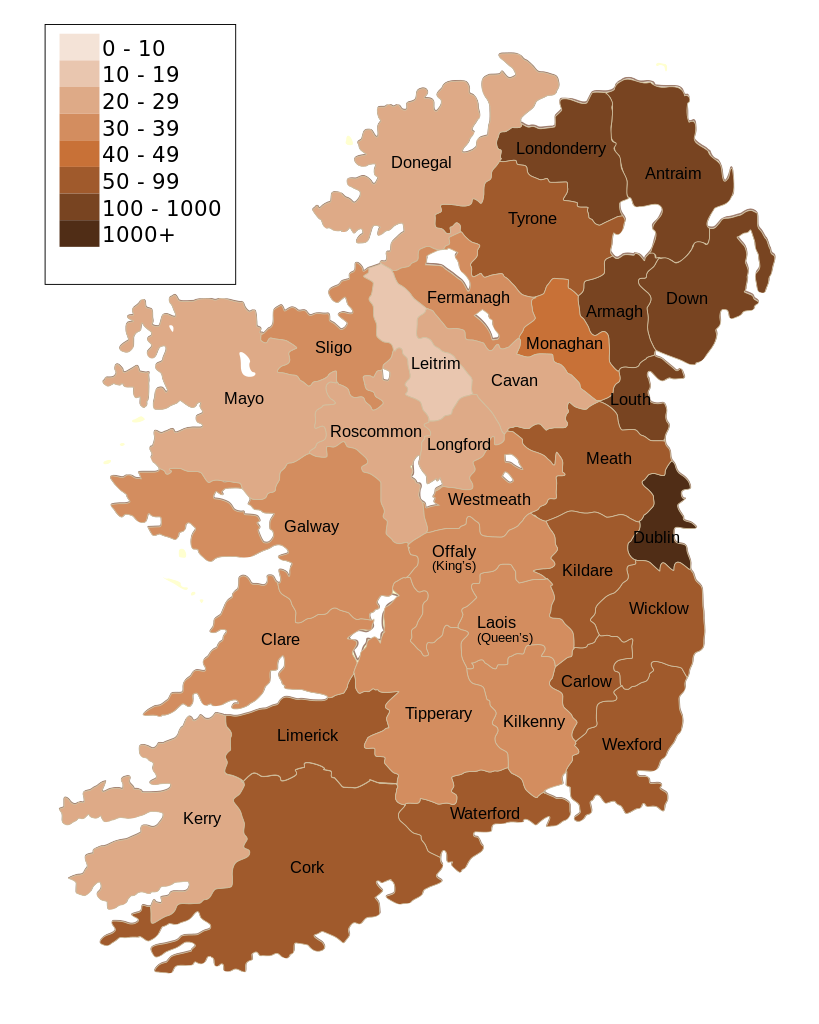
| څرگندونه | Map of Ireland's population density (people per km2). Based upon Republic of Ireland - 2002 Census results. |
| نېټه | (UTC) |
| سرچينه | |
| ليکوال |
|
| نورې بڼې | Derivative works of this file: Population density of Ireland map2002 RU.svg |
| This is a retouched picture, which means that it has been digitally altered from its original version. Modifications: Map of Ireland's population density (people per km2). Based upon Republic of Ireland - 2002 Census results.. The original can be viewed here: Ireland complete.svg:
|
زه، د دې اثر د خپرولو او لمېسلو خاوند، دا دوتنه د لاندې منښتليک پر بنسټ دلته خپروم:
| I, the copyright holder of this work, release this work into the public domain. This applies worldwide. In some countries this may not be legally possible; if so: I grant anyone the right to use this work for any purpose, without any conditions, unless such conditions are required by law. |
Original upload log
This image is a derivative work of the following images:
- File:Ireland_complete.svg licensed with PD-self
- 2007-06-23T17:06:44Z Future Perfect at Sunrise 800x1000 (594536 Bytes) {{Information |Description= |Source=self-made |Date= |Author= [[User:Future Perfect at Sunrise|Future Perfect at Sunrise]] }}
- 2007-06-23T16:45:52Z Future Perfect at Sunrise 800x1000 (590003 Bytes) {{Information |Description= |Source=self-made |Date= |Author= [[User:Future Perfect at Sunrise|Future Perfect at Sunrise]] }}
- 2007-06-23T16:35:48Z Future Perfect at Sunrise 2000x2500 (606764 Bytes) {{Information |Description=SVG map of Ireland. |Source=self-made |Date=23 June 2007 |Author= [[User:Future Perfect at Sunrise|Future Perfect at Sunrise]] }} Note: the SVG code contains separate levels showing boundaries and
Uploaded with derivativeFX
د دوتنې پېښليک
په يوې نېټې/يوه وخت وټوکۍ چې د هماغه وخت او نېټې دوتنه چې څنگه ښکارېده هماغسې درښکاره شي.
| نېټه/وخت | بټنوک | ډډې | کارن | تبصره | |
|---|---|---|---|---|---|
| اوسنی | ۱۴:۳۰, ۱۷ اکتوبر ۲۰۰۹ | | ۸۰۰ × ۱٬۰۰۰ (۶۲۱ کيلوبايټ) | The Illusional Ministry | Dublin now in black text |
| ۱۴:۲۷, ۱۷ اکتوبر ۲۰۰۹ |  | ۸۰۰ × ۱٬۰۰۰ (۶۲۱ کيلوبايټ) | The Illusional Ministry | {{Information |Description=Map of Ireland's population density (people per km2). Based upon Republic of Ireland - 2002 Census results. |Source=*File:Ireland_complete.svg |Date=2009-10-17 14:25 (UTC) |Author=*File:Ireland_complete.svg: '''Futur |
د دوتنې کارېدنه
داسې هېڅ کوم مخ نه شته چې د دغې دوتنې سره تړنې ولري.
د نړېوالې دوتنې کارېدنه
همدا دوتنه لاندينۍ نورې ويکي گانې کاروي:
- په de.wikipedia.org کارونې
- په gv.wikipedia.org کارونې
- په he.wikipedia.org کارونې
- په hu.wikipedia.org کارونې
- په kn.wikipedia.org کارونې
- په sd.wikipedia.org کارونې
- په te.wikipedia.org کارونې