دوتنه:Munster locator map.svg

Size of this PNG preview of this SVG file: ۴۵۹ × ۵۹۹ پېکسل. نورې ژورليدنې: ۱۸۴ × ۲۴۰ پېکسل | ۳۶۸ × ۴۸۰ پېکسل | ۵۸۹ × ۷۶۸ پېکسل | ۷۸۵ × ۱٬۰۲۴ پېکسل | ۱٬۵۷۰ × ۲٬۰۴۸ پېکسل | ۱٬۲۶۴ × ۱٬۶۴۹ پېکسل.
اصلي دوتنه (SVG دوتنه، نومېنلي ۱٬۲۶۴ × ۱٬۶۴۹ پېکسل، د دوتنې کچه: ۵۹۲ کيلوبايټ)
لنډيز
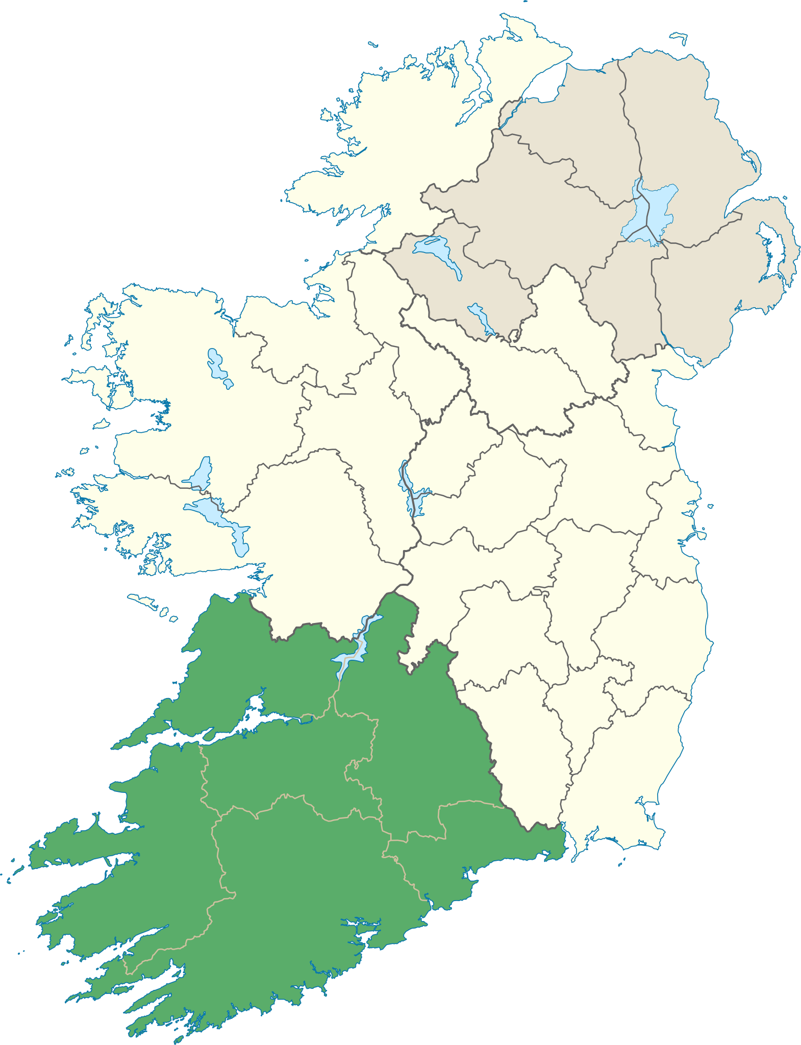
| څرگندونه | Locator map of Munster. |
| نېټه | (UTC) |
| سرچينه | |
| ليکوال |
|
منښتليک:
زه، د دې اثر د خپرولو او لمېسلو خاوند، دا دوتنه د لاندې منښتليک پر بنسټ دلته خپروم:
دا دوتنه د کريټيف کامنز Attribution-Share Alike 3.0 Unported په منښتليک سمبال ده.
- تاسې کولی شئ چې:
- بيا يې د نورو سره شريک کړئ – همدا اثر ولمېسئ، و وېشئ او بيا يې خپور کړئ
- بيا ادلون بدلون راولئ – بدل شوی اثر خپل کړئ
- د لاندې شرطونو له مخې:
- اړوندېدنه – تاسې بايد دا اثر د ليکوال يا منښتگر لخوا د ځانگړو شويو اصولو سره اړونده وگڼئ (خو په دې توگه نه چې داسې ښکاره شي چې گنې تاسې يا ستاسې لخوا کارېدنه د اثر د ملاتړ سبب شوی)
- يوشان شريکول – که تاسې همدا اثر بدلوئ، رغوئ، او يا يې هم سر له نوي جوړوئ نو په پايله کې رامېنځ ته شوی اثر به يوازې د همدې دوتنې ورته منښتليک پر بنسټ خپروئ.
د دوتنې پېښليک
په يوې نېټې/يوه وخت وټوکۍ چې د هماغه وخت او نېټې دوتنه چې څنگه ښکارېده هماغسې درښکاره شي.
| نېټه/وخت | بټنوک | ډډې | کارن | تبصره | |
|---|---|---|---|---|---|
| اوسنی | ۱۴:۲۵, ۸ جون ۲۰۱۳ | | ۱٬۲۶۴ × ۱٬۶۴۹ (۵۹۲ کيلوبايټ) | Setanta Saki | correcting aran islands not part of munster |
| ۱۹:۴۷, ۷ جنوري ۲۰۱۲ |  | ۱٬۴۵۰ × ۱٬۸۰۷ (۶۸۷ کيلوبايټ) | NikNaks | Removing modern boundaries | |
| ۱۸:۱۶, ۷ جنوري ۲۰۱۲ |  | ۱٬۴۵۰ × ۱٬۸۰۷ (۷۰۷ کيلوبايټ) | NikNaks | Updating to new map | |
| ۱۷:۵۳, ۷ جنوري ۲۰۱۲ |  | ۴۰۰ × ۵۰۰ (۲۸۱ کيلوبايټ) | NikNaks93 | == {{int:filedesc}} == {{Information |Description=Locator map of Munster. |Source=*File:Ireland_trad_counties_named.svg |Date=2012-01-07 17:50 (UTC) |Author=*File:Ireland_trad_counties_named.svg: *[[:File:Population_density_of_Ireland_map2002. |
د دوتنې کارېدنه
دا لاندينی مخ د همدې دوتنې سره تړنې لري:
د نړېوالې دوتنې کارېدنه
همدا دوتنه لاندينۍ نورې ويکي گانې کاروي:
- په be.wikipedia.org کارونې
- په cs.wikipedia.org کارونې
- په da.wikipedia.org کارونې
- په en.wikipedia.org کارونې
- Munster
- MacGillycuddy's Reeks
- List of Ireland-related topics
- Carrauntoohil
- Lists of mountains in Ireland
- Silvermine Mountains
- Mount Brandon
- Slievecallan
- Sugarloaf (County Cork)
- Hungry Hill
- Mullaghareirk Mountains
- Galtymore
- Slievenamon
- Shehy Mountains
- Caha Mountains
- Knockmealdown Mountains
- Ballyhoura Mountains
- An Triúr Deirféar
- Knockmealdown
- Sugarloaf Hill (Knockmealdowns)
- Torc Mountain
- Mullaghanish
- Devil's Bit
- Knockboy
- Mountains of the Central Dingle Peninsula
- Purple Mountain (Kerry)
- Mullaghmore, County Clare
- Slieve Mish Mountains
- Slieve Miskish Mountains
- Mangerton Mountain
- Cnoc na Péiste
- Baurtregaum
- Fauscoum
- Keeper Hill
- Seefin (Ballyhoura Mountains)
- Carron Mountain
- Knockoura
- Boggeragh Mountains
- Comeragh Mountains
- Slieve Aughty
- Geokaun
- Bentee
- Derrynasaggart Mountains
- Mount Gabriel
- Croughaun Hill
- Caherconree
- Temple Hill (Ireland)
د دې دوتنې نورې نړېوالې کارېدنې کتل.