دوتنه:Distrito Federal en México.svg

Size of this PNG preview of this SVG file: ۸۰۰ × ۵۳۶ پېکسل. نورې ژورليدنې: ۳۲۰ × ۲۱۵ پېکسل | ۶۴۰ × ۴۲۹ پېکسل | ۱٬۰۲۴ × ۶۸۷ پېکسل | ۱٬۲۸۰ × ۸۵۸ پېکسل | ۲٬۵۶۰ × ۱٬۷۱۶ پېکسل | ۹۷۴ × ۶۵۳ پېکسل.
اصلي دوتنه (SVG دوتنه، نومېنلي ۹۷۴ × ۶۵۳ پېکسل، د دوتنې کچه: ۲۶۲ کيلوبايټ)
| څرگندونه |
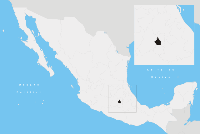
Español: Ubicación del Distrito Federal en la República Mexicana |
||
| نېټه | |||
| سرچينه | شخصي اثر | ||
| ليکوال | Yavidaxiu | ||
| اجازه (دا دوتنه بيا کارول) |
|
د دوتنې پېښليک
په يوې نېټې/يوه وخت وټوکۍ چې د هماغه وخت او نېټې دوتنه چې څنگه ښکارېده هماغسې درښکاره شي.
| نېټه/وخت | بټنوک | ډډې | کارن | تبصره | |
|---|---|---|---|---|---|
| اوسنی | ۰۱:۱۷, ۲۱ اپرېل ۲۰۰۷ | | ۹۷۴ × ۶۵۳ (۲۶۲ کيلوبايټ) | Yavidaxiu | {{Information |Description={{es|Ubicación del Distrito Federal en la República Mexicana}} |Source= Trabajo propio |Date= 20 de abril de 2007 |Author= Yavidaxiu |Permission= {{PD-self}} |other_versions= }} Category:Maps of Distrito Federal [[Categor |
د دوتنې کارېدنه
دا لاندينی مخ د همدې دوتنې سره تړنې لري:
د نړېوالې دوتنې کارېدنه
همدا دوتنه لاندينۍ نورې ويکي گانې کاروي:
- په af.wikipedia.org کارونې
- په bh.wikipedia.org کارونې
- په da.wikipedia.org کارونې
- په es.wikipedia.org کارونې
- په fa.wikipedia.org کارونې
- په ga.wikipedia.org کارونې
- په hif.wikipedia.org کارونې
- په id.wikipedia.org کارونې
- په ilo.wikipedia.org کارونې
- په io.wikipedia.org کارونې
- په it.wikinews.org کارونې
- په ko.wikipedia.org کارونې
- په lb.wikipedia.org کارونې
- په or.wikipedia.org کارونې
- په pl.wiktionary.org کارونې
- په ro.wikipedia.org کارونې
- په sco.wikipedia.org کارونې
- په simple.wikipedia.org کارونې
- په sr.wikipedia.org کارونې
- په ta.wikipedia.org کارونې
- په te.wikipedia.org کارونې