دوتنه:Britain and Ireland satellite image bright.png

د همدې ليدنې کچه: ۵۲۲ × ۶۰۰ پېکسل. نورې ژورليدنې: ۲۰۹ × ۲۴۰ پېکسل | ۴۱۸ × ۴۸۰ پېکسل | ۶۶۸ × ۷۶۸ پېکسل | ۱٬۰۲۴ × ۱٬۱۷۷ پېکسل.
اصلي دوتنه (۱٬۰۲۴ × ۱٬۱۷۷ پېکسل, د دوتنې کچه: ۲٫۲۱ مېگابايټ, MIME بڼه: image/png)
لنډيز
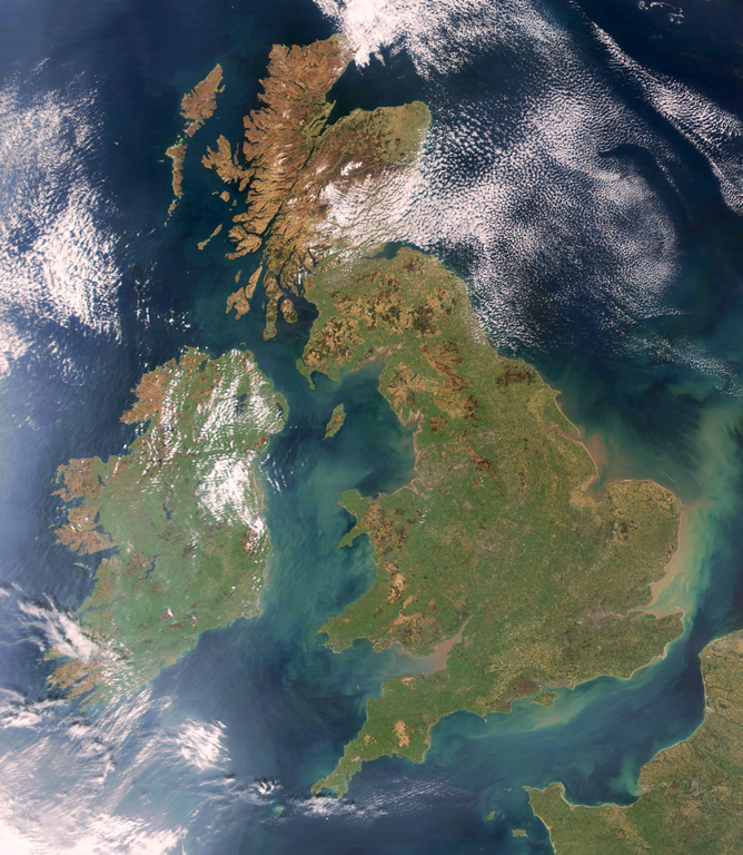
Brightened version of Image:United_Kingdom_satellite_image.png. Enhancement performed with w:en:the GIMP.
منښتليک:
| This file is in the public domain in the United States because it was solely created by NASA. NASA copyright policy states that "NASA material is not protected by copyright unless noted". (See Template:PD-USGov, NASA copyright policy page or JPL Image Use Policy.) | ||
 |
Warnings:
|
د دوتنې پېښليک
په يوې نېټې/يوه وخت وټوکۍ چې د هماغه وخت او نېټې دوتنه چې څنگه ښکارېده هماغسې درښکاره شي.
| نېټه/وخت | بټنوک | ډډې | کارن | تبصره | |
|---|---|---|---|---|---|
| اوسنی | ۱۹:۳۲, ۷ اپرېل ۲۰۰۹ | | ۱٬۰۲۴ × ۱٬۱۷۷ (۲٫۲۱ مېگابايټ) | HighKing | Used original NASA source instead of version that had political border drawn in |
| ۱۸:۲۴, ۵ اپرېل ۲۰۰۹ |  | ۹۱۷ × ۱٬۱۲۴ (۱٫۱۵ مېگابايټ) | HighKing | Cropped a little finer | |
| ۱۸:۰۶, ۵ اپرېل ۲۰۰۹ |  | ۹۳۴ × ۱٬۲۸۴ (۱٫۸۷ مېگابايټ) | HighKing | {{Information |Description={{en|1=Brightened and correctly renamed version of Image:United_Kingdom_satellite_image.png. Enhancement performed with w:en:the GIMP.}} |Source=NASA |Author=NASA |Date= |Permission= |other_versions= }} <!--{{ImageUplo |
د دوتنې کارېدنه
داسې هېڅ کوم مخ نه شته چې د دغې دوتنې سره تړنې ولري.
د نړېوالې دوتنې کارېدنه
همدا دوتنه لاندينۍ نورې ويکي گانې کاروي:
- په en.wikipedia.org کارونې
- Wikipedia:Userboxes/Location/Europe
- Names of the British Isles
- User:CsikosLo
- User:MariAdkins
- User:Tk420
- British nationalism
- User talk:HighKing/BritishIsles
- Template:User British-Isles
- User:KingKarp
- User:Knox490
- User:Byzantium Purple
- Wikipedia:Userboxes/Life/Ancestry
- Wikipedia talk:Userboxes/Archive 13
- Template:User British Isles≠UK,GBorEngland
- User:Adam9007
- Wikipedia:Userboxes/Life/Ethnicity
- User:Clawraich (Dalek)
- User:Mmitchell10
- User:Volksliam
- User:Nicnote
- User:Specto73
- User:Chris0282
- User:Markus1423
- User:RyTellyFan91
- User:HurricaneKappa
- User:SHISHIR DUA
- User:HurricaneKappa/sandbox/My Userboxes
- User:Shadestar474
- User:LowBattsMatt
- په en.wikisource.org کارونې
- په it.wikipedia.org کارونې
- په ja.wikipedia.org کارونې
- په no.wikipedia.org کارونې
- په si.wikipedia.org کارونې
- په zh.wikipedia.org کارونې