دوتنه:Un-nepal-KV.png
اصلي دوتنه (۸۷۵ × ۷۳۲ پېکسل, د دوتنې کچه: ۲۹۱ کيلوبايټ, MIME بڼه: image/png)
base source: http://commons.wikimedia.org/wiki/Image:Un-nepal.png
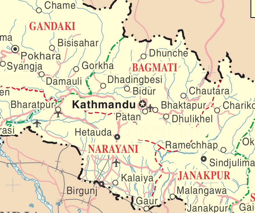
| This image is a map derived from a United Nations map.
Unless stated otherwise, UN maps are to be considered in the public domain. This applies worldwide. UN maps are, in principle, open source material and you can use them in your work or for making your own map. UN requests however that you delete the UN name, logo and reference number upon any modification to the map. Content of your map will be your responsibility. You can state in your publication, if you wish, something like: based on UN map … (map name, map number, revision number and date). See: Geospatial Information Section. And: Geospatial, location data for a better world. |
 |
د دوتنې پېښليک
په يوې نېټې/يوه وخت وټوکۍ چې د هماغه وخت او نېټې دوتنه چې څنگه ښکارېده هماغسې درښکاره شي.
| نېټه/وخت | بټنوک | ډډې | کارن | تبصره | |
|---|---|---|---|---|---|
| اوسنی | ۰۲:۵۶, ۳۱ جولای ۲۰۰۸ | | ۸۷۵ × ۷۳۲ (۲۹۱ کيلوبايټ) | Ori~ | base source: http://commons.wikimedia.org/wiki/Image:Un-nepal.png {{UN map}} Category:Maps of Nepal |
د دوتنې کارېدنه
دا لاندينی مخ د همدې دوتنې سره تړنې لري:
د نړېوالې دوتنې کارېدنه
همدا دوتنه لاندينۍ نورې ويکي گانې کاروي: